Marine Safety
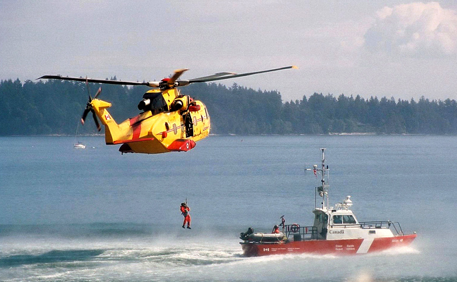
Surround by the crystal-clear water of Georgian Bay and sandy beaches of Lake Huron, it's no surprise that spending a day on the water is a favourite pastime. The Coast Guard equipment at our airport works to keep everyone on the water safe by tracking the location and movements of vessels and transmitting this data to on-board navigation devices. This aids in collision avoidance and emergency locating services, as well as receives distress signals from both recreational and commercial vessels for this section of the Great Lakes.
Weather Station
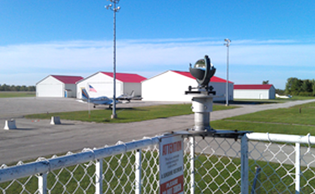
Our weather station provides a constant stream of data for Environment Canada forecasts. Digitized equipment is able to instantly report significant changes in weather conditions, which is necessary information for the 300-500 Canadian and US commercial, military and recreational aircraft flying through this corridor. Special synoptic observations are reported every six hours for the World Meteorological Organization (WMO), combined with similar reports from designated weather stations around the world, giving climatologists a clear weather report.
Aviation Safety
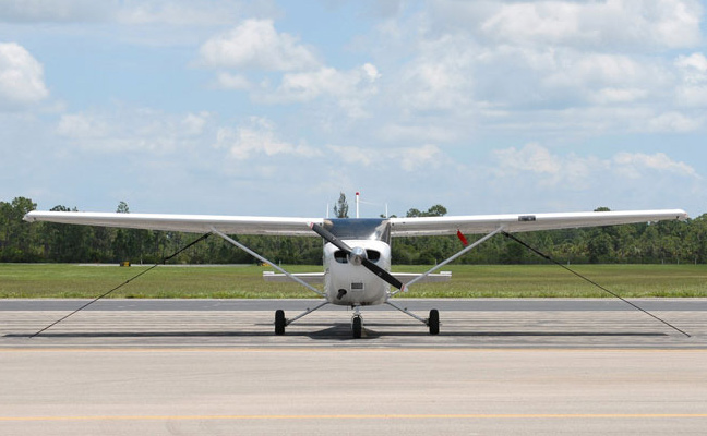
A bank of transmitters and receivers located at our airport operate on different frequencies controlled by the Toronto Area Control Centre from Pearson Airport. These transmitters assign operating altitudes, supply weather information, sequence aircraft for landing if they are going into northern U.S. airports, and generally keep all aircraft well separated and on a safe route.

Disaster Relief
Our area is surrounded by water, boasts kilometres of forest, and is in close proximity of a nuclear facility. These landscapes, as well as seismic faults and weather phenomena could result in our area experiencing a natural or man-made disaster. The airport is a vital component in the event of this type of emergency as it is able to facilitate a mass evacuation, can be utilized as a base of operations or temporary shelter, and may be the only access for incoming supplies and resources.
